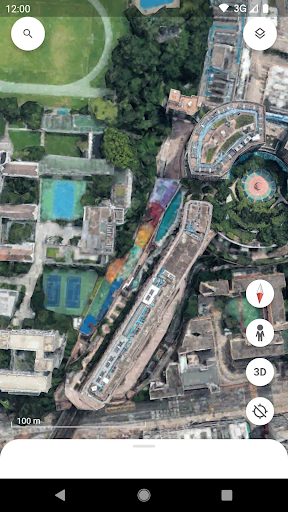
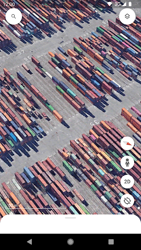
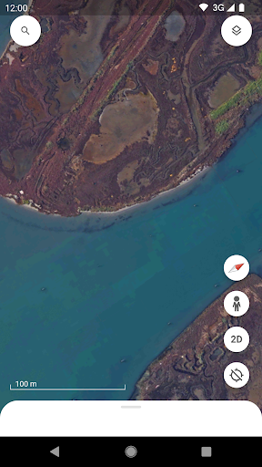
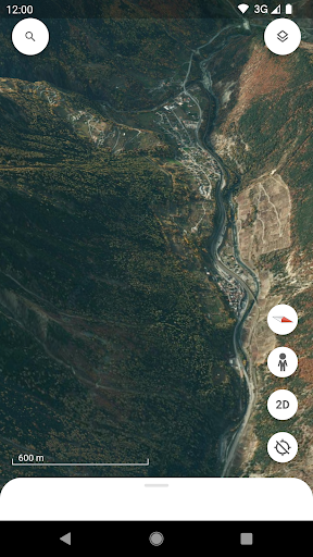
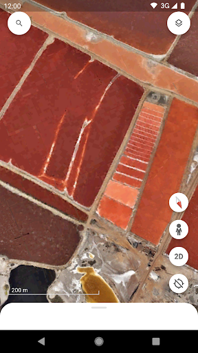
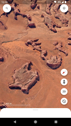
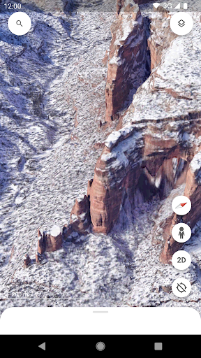
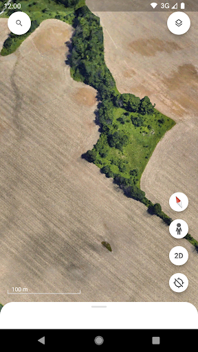
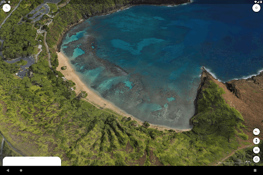
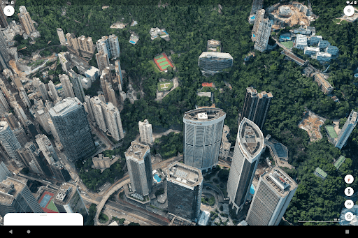
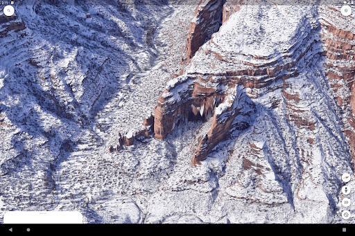
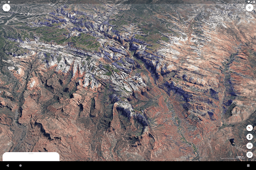
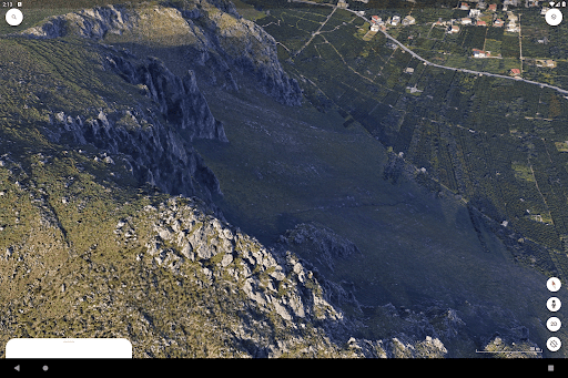
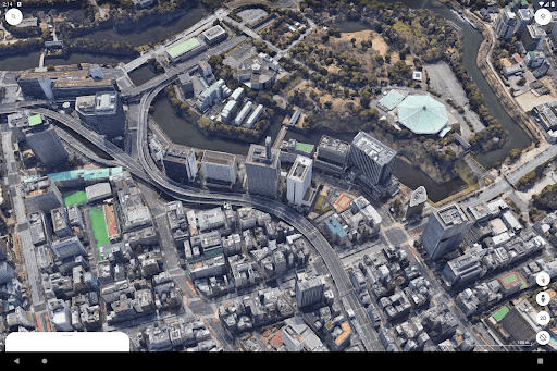
Interactive 3D Mapping
Explore the world through detailed 3D-rendered maps and satellite imagery. Zoom in on cities, landscapes, and landmarks from a bird's-eye view, offering an immersive geographical experience.
Voyager
Embark on guided tours curated by trusted partners. Discover stories and facts about various locations around the globe, enabling users to learn while they explore.
Street View Integration
Navigate through streets with 360-degree panoramic imagery. Experience virtual tourism, allowing users to visually stroll through cities and neighborhoods anywhere in the world.
Custom Mapping Tools
Create personalized maps by adding markers, paths, and polygons. This feature is ideal for educators, travelers, and professionals who need to visualize specific areas.
Historical Imagery
Access past satellite images and see how places have changed over time. This feature provides unique insights into urban development and environmental changes.